top of page
Bikepacking Israel

P2P South
Ride and write
40%
SingleTrack
854m
Highest Point
6m
Lowest Point
CS
Location
93%
Unpaved
492
km long
6145
Meter Climb
1/5
Food and Water

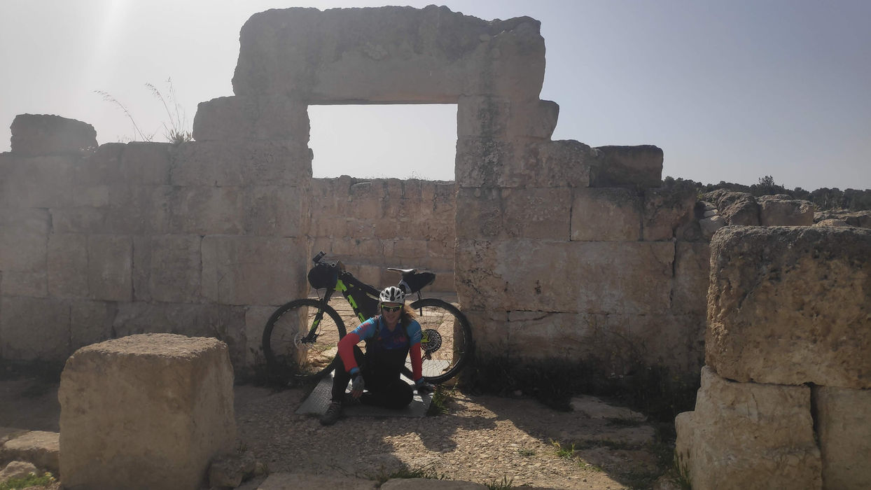
A perfect route from Eilat to Lahavim with all the best that the desert has to offer, perfect singles such as Tamana, Yahel and more, as well as breathtaking views, mountains in many shades and even magical places to stay and enough supply points in small towns with wonderful local food
תגובות
Share Your ThoughtsBe the first to write a comment.
bottom of page


